Run-off study and hazard zone mapping Drau
Client
Government of Carinthia
Location
Austria / Carinthia
Duration
2008 - 2013
Services
Vermessung, hydraulische Modellierung, Erstellung einer Abflussuntersuchung und Gefahrenzonenplanung
Project objectives
Survey and digital terrain modelling for hydraulic numerical 2D analysis. The overall project objective was a run-off study and hazard zone mapping.
Project description
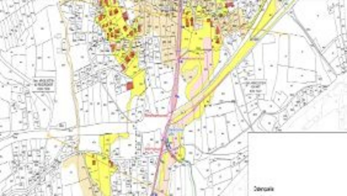
Run-off study and hazard zone mapping for the upper river Drau. Surveying and hydraulic modelling 2D, scenario investigation of bedload, preparation of a hazard zone plan according to applicable guidelines for the municipalities of Oberdrauburg, Irschen, Dellach, Berg, Greifenburg, Steinfeld, Kleblach-Lind, Sachsenburg, Lurnfeld, Baldramsdorf, Lendorf and Spittal/Drau. Creation of a GIS project.
Project data
River length in project: app. 70 km
HQ100 : 1000 m³/s – 1650 m³/s
Project specifics
12 municipalities
Services
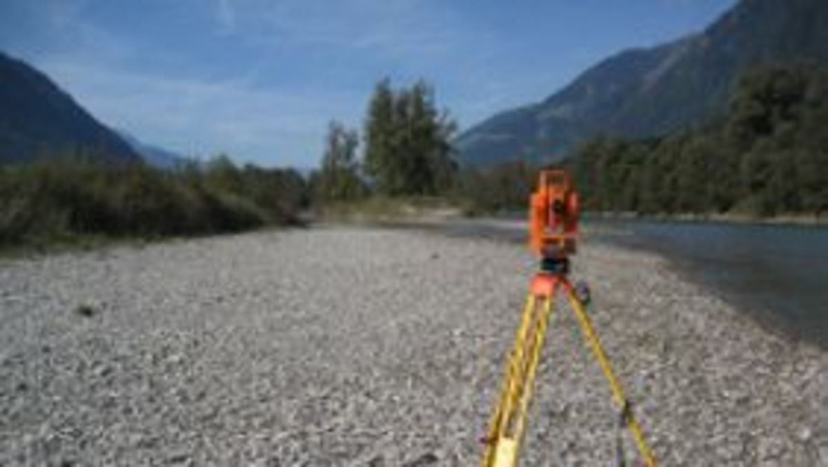
- Surveying / river engineering basic data collection
- GPS Echo Sounder and Terrestrial Surveying
- Creation of the terrain model
- Hydraulic analysis 2D; scenarios (bedload/cladding)
- Project visualisation / GIS project; hazard zone identification